This post was originally written in 2022 but a lot has changed since then, so I removed some apps I no longer use and added some new route planners.
How do I plan my route?
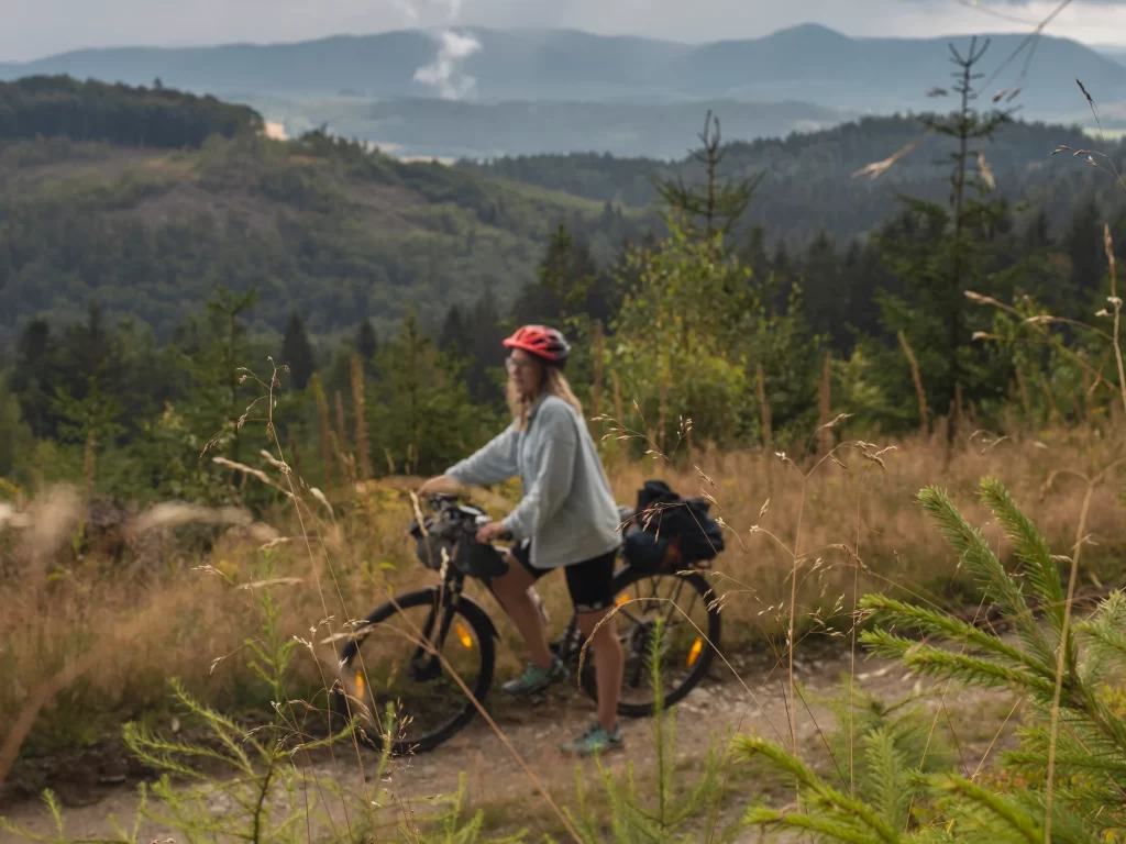
My approach to planning a route for my bicycle tours is pretty lax. I rarely spend hours designing every tiny detail of my trip and creating an exhaustive itinerary. I usually pick a few highlights, look up the best bicycle routes in the area, and then try to connect the dots, leaving some space for spontaneous detours when someone I meet tells me about The Most Stunning Place.
Depending on my fitness at a given moment, I decide what mileage I can do daily. I typically plan 5-6 days of cycling a week and 1 or 2 rest days for simply enjoying a place, recovering, and other activities. I also leave some buffer for unexpected events.
Sometimes, planning the whole trip overwhelms me, especially if I am about to travel for weeks. In this case, I plan for 3-4 days at a time during my trip. It feels more manageable and less overwhelming than creating a whole itinerary for a two-month journey.
Here are the criteria you need to consider when choosing the right app for navigating your bike tour:
1. Reliability
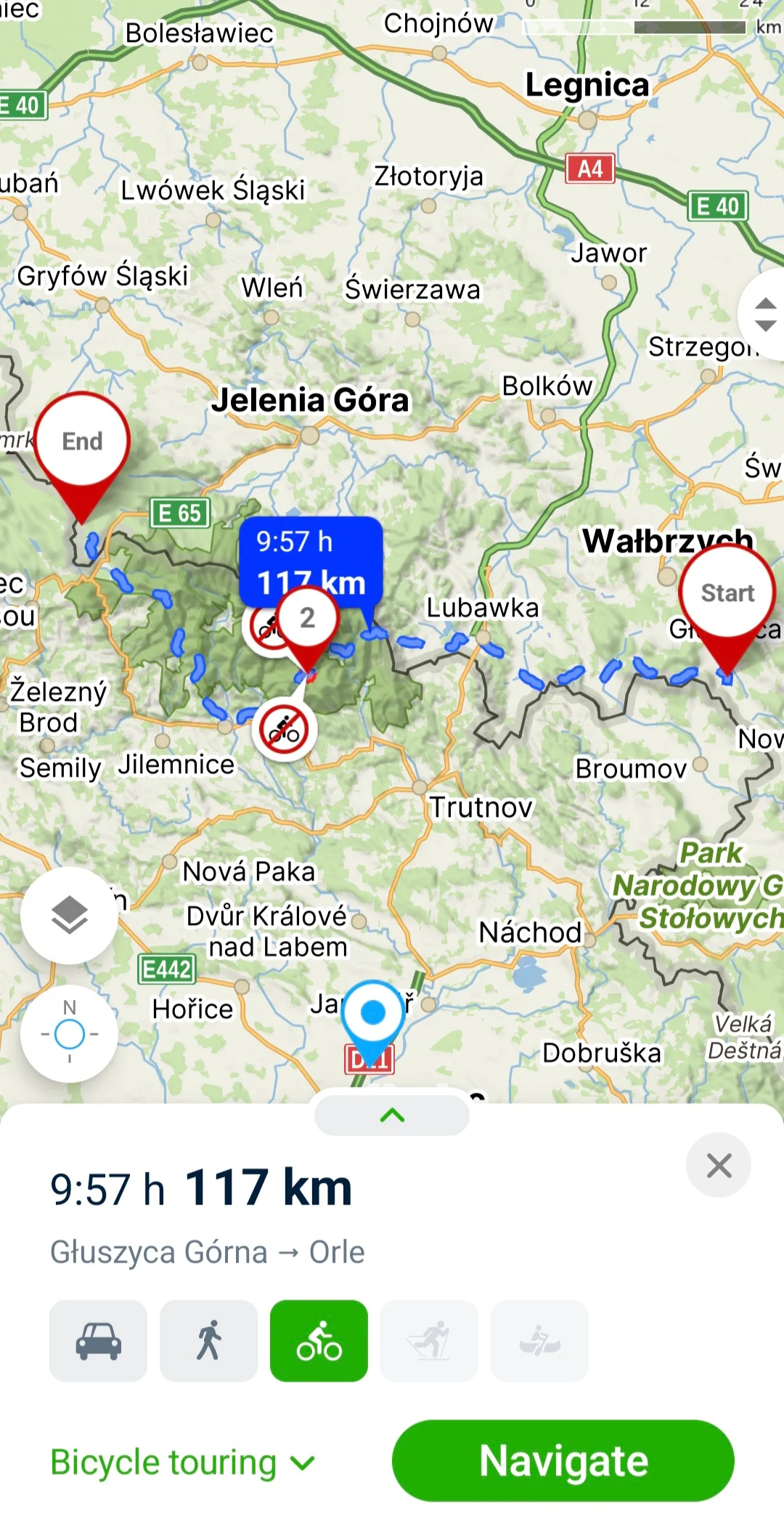
User-friendliness, great design and thousands of features mean nothing if the app makes you wade through the thicket or directs you to a highway where cyclists are not allowed.
You want something that can easily calculate the fastest route when your schedule is tight but also suggest the most bike-friendly and pleasant trail. An app that considers climbs and road quality will simplify the planning process.
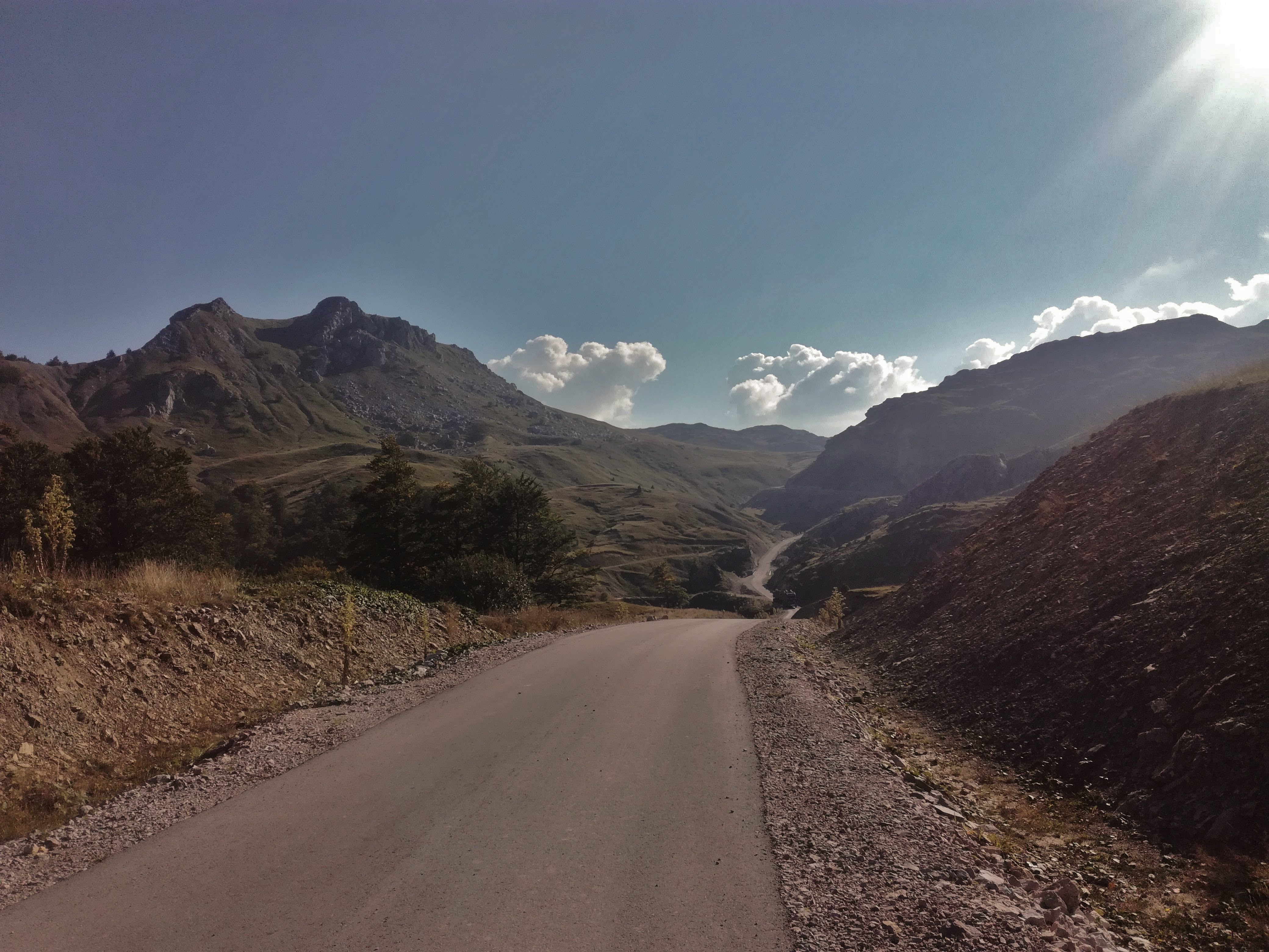
Never rely on any automatic route planner 100 %. Most rely on user data and might be less accurate, especially in less-travelled regions. Bear in mind that the weather in the mountains can make some roads and trails dangerous and that the maps are not always up to date.
2. Maps offline
The option to download the maps offline is a must for bicycle tourists. You don’t want to find yourself in the mountains with no phone coverage and zero clue where to go. Downloading the maps offline will also save your mobile data. Some apps include the offline maps in the free version, in others, you’ll have to pay extra for this feature.
3. Cycle routes and hiking paths
Viewing the cycle routes with their names on a map is crucial. This way, I can easily find This-Cool-Bike-Route-someone-told-me-about and adjust my planning to follow it.
I also appreciate the option to decide whether I want to go more on or off the road. Some apps allow you to choose whether you prefer the fastest route or the most scenic one.
I like to take some days off from cycling and do small hikes instead, so I find it very useful to have an overview of the hiking trails in the area, too.
4. Points of interest
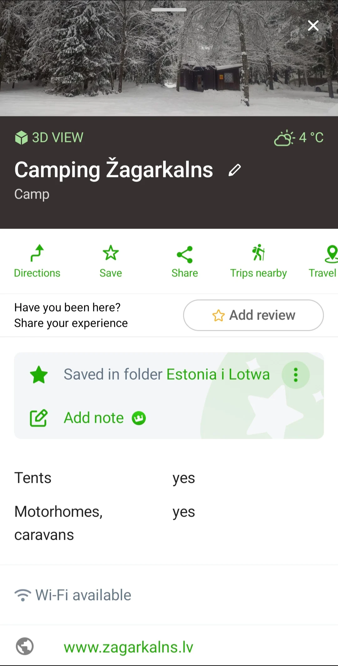
A good app will make it easy to find a grocery store, campsite, or restaurant in the area. It will also help you explore the interesting places near you, such as a giant waterfall, a weird monument, or an off-the-grid local museum.
5. Route planner in the browser
During my trip, I almost exclusively rely on navigation on my phone. The planning itself, however, I prefer to do on my computer. It lets me see the bigger picture more clearly; everything is faster than on my phone. I hate doing things like this on my phone, so a route planner in the browser is a must.
Useful but less important features
Voice directions
Some people like having voice commands telling them when to turn left or right. I rarely use my maps in navigation mode (except for the cities where it is tricky to find your way around). It drains too much battery. My phone is usually placed on the frame with a Quad Lock phone holder, and the screen is mostly off. I only check the directions when approaching an intersection.
Trip recording
Many people use apps to record their GPS tracks. It is helpful if you can access the routes you cycled before. This way, you can share them with your friends visiting the same country.
It drains a lot of battery, so I would give it up if I had to do it on my phone. Luckily, I have a sports watch with GPS (Garmin Fenix 7). I record all my routes on it. It automatically synchronises with my Strava account. Thanks to it, my family can also check where I am at the end of the day (unless I sleep in the middle of the forest with no internet connection).
Most of my tours have taken place in Europe, so I can only speak for the reliability of these apps in this part of the world (+ in Kyrgyzstan). I discussed this topic with many other cyclists and tried to include their opinions on these apps in other places as much as possible.
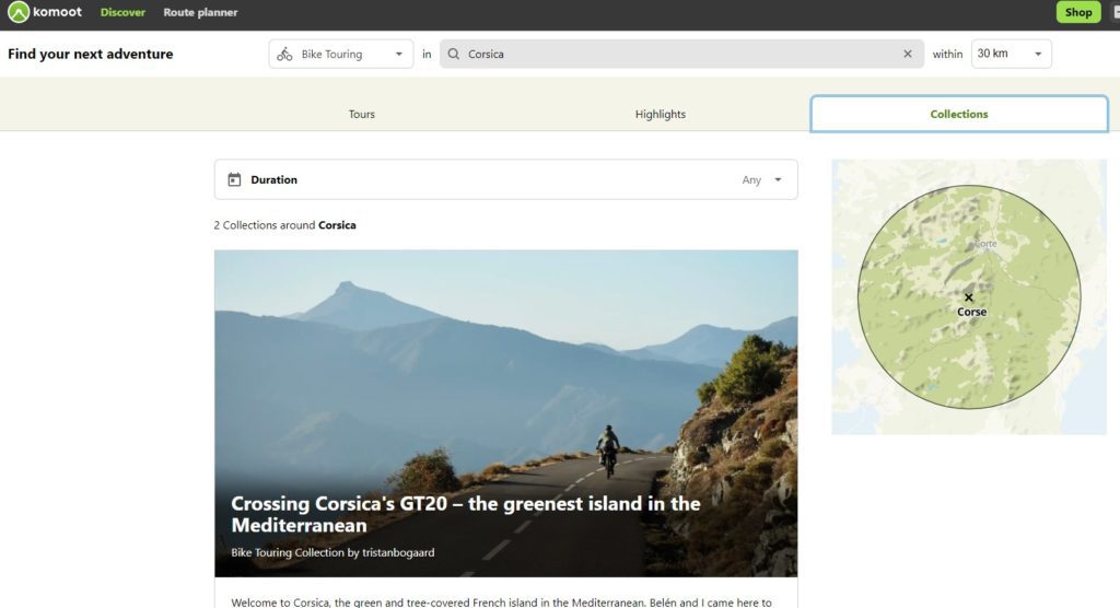
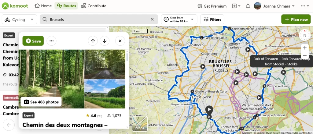
Komoot
Komoot is one of the most popular navigation apps for cycle touring and bikepacking. It is easy to use, allowing you to discover great cycle routes you otherwise would’ve never found.
One of its core strengths is the fantastic community of people sharing their routes, collections and photos so you can just get inspiration from other cyclists instead of having to meticulously plan your own route.
Pros
- The route planner works well; most of the time, routes are cycling-friendly and safe
- You can buy all the world maps with a one-time payment, without having to subscribe to premium
- A rich library of community-created routes and collections with photos, allowing you to find the best routes in your area
- Easy to use and intuitive
- Multiple cycling modes (cycling, road cycling, gravel biking, enduro and mountain biking) allow you to find a route that best suits your style
- Detailed information on way types and surfaces
- Compatible with most popular models of bike computers (Garmin, Wahoo, Sigma, Lezyne, Hammerhead and more)
Cons
- It’s impossible to plan a new route in the app when offline (even when the map of the region is saved offline
- The POIs feature is not the most intuitive
- Official cycle routes aren’t marked on the Komoot map (you can see them on the OpenCycleMap layer, but the view is unclear and unavailable offline).
Features and Pricing
| Version | Free | Single bundle | Region bundle | World Bundle | Premium |
|---|---|---|---|---|---|
| Price | - | €3.99 (one-time purchase) | €8.99 (one-time purchase) | €29.99 (one-time purchase) | €59.99 per year |
| Features | – Route planning and navigating in one region – Exporting GPX routes – Creating collections | – Offline maps for one additional region (usually a city and its surroundings) | – Offline maps for a larger region | – Offline maps of the entire world | – Offline maps – Multi-day routes – Personal Collections – Live Tracking – Weather on route – Sport-specific maps – 3D maps – komoot Map on Garmin – Send routes to external devices |
The future of Komoot after the acquisition by Bending Spoons
The recent acquisition of Komoot by Bending Spoons creates questions about Komoot’s future. The Italian tech company has a track record of laying off staff working on apps they acquired, so there is a risk that a big chunk of Komoot employees will have to leave.
It’s still too early to tell how it will affect Komoot’s pricing plan and functionalities.
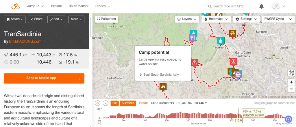
Ride with GPS
Founded in 2007, Ride with GPS is one of the oldest route planners for cyclists. It allows you to plan your multi-day adventure down to the last detail.
It’s a popular app, especially in the bikepacking community. I particularly love its social aspect: Ride with GPS makes it effortless to share your routes, and you can add custom points of interest (for example, water sources, campsites, and shops). That makes planning your adventure so much easier!
The main issue with Ride with GPS is the price for the premium version: with 79,99 USD annually, it’s the most pricey app in this breakdown. The free version doesn’t have all the fireworks that make Ride with GPS stand out, but it’s still functional, allowing you to save your routes offline and access essential planning functions in the browser.
Pros
- Extremely powerful route planner allowing you to add custom POIs and control points and easily split the route – great for planning each stage of a multi-day cycle adventure
- Many layers, including my favourite OSM Cycle, where you can preview existing cycle routes
- Detailed surface and elevation information
- A huge route library created by cyclists
- Global heatmaps allow you to find the most popular routes in an area and cycle-friendly roads
- Created specifically for cycling
- The most popular app among bikepacking race organisers and among many online creators (for example, all routes from bikepacking.com are created in Ride with GPS.
Cons
- The premium version is expensive
- It’s impossible to create a new route when offline.
Pricing
| Version | Starter | Basic | Premium |
|---|---|---|---|
| Price | - | $59.99 / year | $79.99 / year |
| Features | – Route planning in the browser – Activity recording in the app – Collections | – Turn-by-turn voice navigation – Mobile route planner – Global heatmaps in the mobile app – Live tracking with the mobile app – Offline maps | – Advanced route planning and editing tools (custom POIs, split route, custom cue sheet etc.) – Global heatmaps and personal heatmap in the browser – Custom point of interests – Inspect tool – Bike maintenance log |
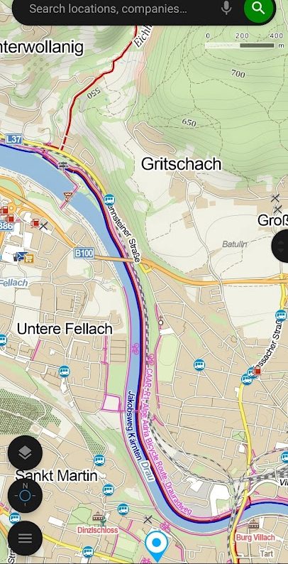
Mapy.com (formerly mapy.cz)
For a long time, the Czech app Mapy.cz was my go-to app for planning bicycle routes. It was simple and easy to use, didn’t use a lot of battery, and had two cycling planning modes. Moreover, everything was completely free!
A few months ago, Mapy.cz rebranded to mapy.com and decided to introduce a premium plan. It is still very affordable – only 10 euros per year.
The app is simple and allows you to adapt and edit your route effortlessly on the go, even in the offline mode—something I value immensely as a person who frequently changes my plans and rarely plan the whole route before embarking on an adventure.
Pros
- Cheap
- It’s not just a cycling planner—mapy.com helps you plan hikes and cross-country skiing tours. You can also use it as a car navigation app
- Many map layers, including the outdoor layer where you can see existing cycle routes
- Easy and intuitive to use
- You can plan a new route without internet access (as long as you have downloaded the map offline)
- Multiple planning modes (cycle touring, road biking, gravel cycling, MTB)
- Many POIs
- Possible to book accommodation directly from the app.
Cons
- The elevation data is often inaccurate.
- The proposed routes are not always as good as the ones created on Komoot or Ride with GPS.
Features and Pricing
| Version | Free | Premium |
|---|---|---|
| Price | - | €10 / year |
| Features | – Offline maps of one country in the mobile app – Route planning in the app and in the browser for bicycle touring , mountain biking, road cycling, hiking and driving – Saved routes and locations – Voice navigation – Activity recording in the app | – Route planning for running, gravel bikes, scooters and via ferratas – Customized cycling speed to estimate the time of arrival – Offline maps in the mobile app – Own notes in My Maps |
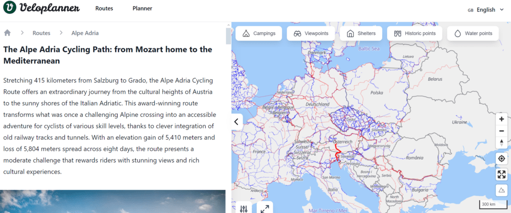
Veloplanner
Veloplanner is a new project still under development, but the concept is so promising that I decided to include it in this overview anyway.
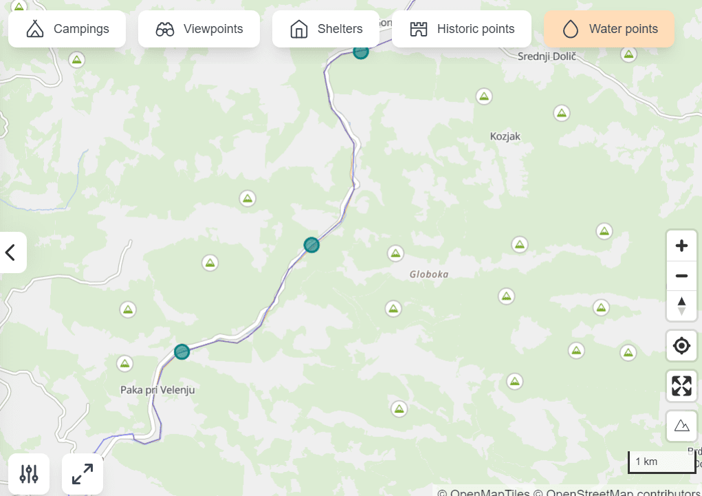
The premise of Veloplanner is to make finding existing official cycle routes easier. The map in clearly shows the route network and by clicking on one of the routes, you can find more information about it.
There is also a clear overview of POIs, including hotels, campsites, water sources and interesting sights.
At this moment, the route planner works only in Europe, North America, Australia, New Zealand, Taiwan and South Korea. The mobile app isn’t ready yet but you can already test the in-browser route planner.
Most of the features work in the free version. The premium version costs 15 euros and features weather forecasts, satellite view and unlimited routes and collections.
Pros
- Clear overview of existing cycle routes on the map
- Detailed information about routes
- The app was developed specifically for cycle touring and has plenty of travel-specific POIs (campsites, water sources, campsites etc.)
- An independent project created by a software developer and passionate cycle tourer
- Most features are available for free.
Cons
- Planning is only possible in Europe, the United States, Canada, Australia, New Zealand, Taiwan and South Korea.
- The mobile app is not available yet (the launch is planned for spring 2025).
Features and pricing
| Version | Free | Premium |
|---|---|---|
| Price | - | €15 / year |
| Features | – In-browser route planning in Europe, North America, New Zealand, Australia, Taiwan and South Korea (mobile app coming soon) – Detailed description of official cycle routes – Multi-stage planning – POIs | – Satelite maps – Unlimited routes and collections – Weather forecast – No ads – Early access to new features |
Cycle.travel
Cycle.travel is another small, independent project, with no big funding and no greedy shareholders behind. It’s built by cyclists for cyclists.
I like its simplicity and the focus on the needs of cycle tourers. You can plan your route, find a place to stay and add your personal POIs.
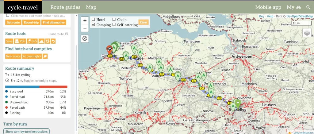
The in-browser route planner is not overly complicated, but it is equipped with all the necessary features, including the route surface overview, several cycling modes (gravel, paved, routes, and night), and the ability to export the Gpx file.
Offline routes are completely free, so cycle.travel is a great option if you are on a tight budget.
Most features are free of charge but you can support the creators on Patreon and get access to additional features such as satellite maps, weather forecast and more.
Pros
- Most features, including offline routes, are available for free
- The map features official cycle routes
- Multiple cycling modes
- POIs useful for cycle touring (hotels, campsites, shops, e-bike charging stations)
Cons
- Route planning not available offline
- Not all cycling modes are available in all regions
- The app interface is not the most intuitive.
Features and pricing
| Version | Free | Patreon |
|---|---|---|
| Price | - | €66 / year |
| Features | – Offline maps in the app directions – Personal waypoints – Campsites and hotels on the map | – UK Ordnance Survey maps – French IGN maps – Weather forecasts – Early access to new features |
What apps do you use for bicycle touring? Let me know why in the comments!
Odnośnik zwrotny: Cycling in Sicily - practical bike touring guide - Wobbly Ride
Odnośnik zwrotny: Cycling Albania - practical bike touring guide - Wobbly Ride
Odnośnik zwrotny: Bicycle touring gear list - Wobbly Ride
Thank you very much for these useful tips.
I also like Mappy.cz and komoot most for planning a tour and navigating. But google maps definitely has the best search engine.
Thanks for your comment, Daniel!Definitely, for finding points of interest, Google Maps is the best:)
I’m quite surprised that Locus Map is not in this list because unlike some in the shortlist it is mostly designed (text copied from Play store) “for hiking, mountain biking, cycling, running, geocaching, cross-country skiing, and other outdoor activities”. Having used the other apps, although long ago, in can say the level of customization is well beyond every other app. The forum is very active, the developers extremely engaging, the updates including betas very regular.
Hi Andrew! Thanks for your comment and for recommending Locus. I haven’t had a chance to test it out yet but after your positive review, I might give it a try! 😉
Thumbs up for Locus Map
Pity that you left out Locus Map in your great overview. Is that because Locus has no Iphone version?
Hi Henk, thanks for your comment! I am using Android myself, so that was definitely not the reason I left Locus out. I just haven’t had a chance to try it yet (difficult to find time to test all the available apps ;)). But since it has been mentioned by so many people commenting, I might give it a go!
Hi Michael, thanks for commenting! I guess one can always do better but no one is perfect 😉 I did a bit of online research on Orux and based on the info I found, it looks a bit intimidating. I will probably give Locus a go on one of my rides in the future, since a lot of people seem to be happy with it!
Many looks great but I can’t seem to set up an account from canada, which is needed to plan routes. Any suggestions?
Hi. Thanks for the great review. I had a look at Maps and it looks great. Does anyone know if I can set up a Maps account from Canada?
Hi Adele, are you talking about maps.me? Normally, it should be possible to create an account from Canada, I remember a Canadian friend of mine was using it without any issues. If you’re unable to create an account, maybe try to contact their support team? https://maps.me/contacts/
Sorry for the typo, Mapy.cz is that app I like but can’t set up an account for in Canada.
Thanks for clarifying! I think you still can set up an account but you need to create a new e-mail account with seznam.cz (that’s the website mapy.cz is part of)
Odnośnik zwrotny: 5 Easy cycling routes in Europe - Cycling Holidays for Beginners
I have used “Cyclers” app on recent cycle rides in France. It’s free and I found it to be accurate and easy to use……..Give it a try!
Duncan McLean. 26/01/2023.
Hi Duncan, thank you for recommendation, I just checked out the route planning on their website and it looks impressive! I love that they have the “heavy traffic” warnings and all the extra features, I am definitely going to try out this one.
Hello. I found that the “Cyclers” app used almost all of my ‘phone battery after about 5 hours but when you stop for coffee / lunch cafes will allow to re-charge. I also have a “mobile” re-charging unit that I intend to use this year. Using “Cyclers” to get from Paris to Versaille and then back up to Dieppe was brilliant. No main roads, good cycle tracks and a very reliable guidance system.
Regards,
Duncan McLean. 28/01/2023.
Yeah, I noticed this as well when I tested the app last Sunday. But there is an option for deactivating the screen to save the battery, I found it pretty ok! My only complaint is that there is no option to download the maps offline (or at least I couldn’t find it). I agree that the route planning is quite reliable, I was very happy with the route Cyclers suggested. Definitely will test it more on my next trip, thanks again for the great suggestion!
I did find that at first I found myself “pressing” various icons on trial & error basis. I am not at all tech-literate but after a few attempts I found the app. to be really good. It got me from Versaille to Paris and back on great paths through the royal forests and then from Versaille to Dieppe along cycle paths and quiet, scenic, roads.
Best wishes,
Duncan McLean. 31/01/2023.
Odnośnik zwrotny: Accommodation on a Bicycle Tour - Resources and Tips
Odnośnik zwrotny: Cycling in the Netherlands - Practical bike touring guide
Odnośnik zwrotny: Quad Lock bike mount review. Cycle mount for bicycle touring
Odnośnik zwrotny: How to Plan Cycling Routes With Wearable Tech - wristintel.com
Odnośnik zwrotny: Stress-Free Urban Cycling: Essential Tips for Exploring Bike Friendly European Cities – USATimes247.com