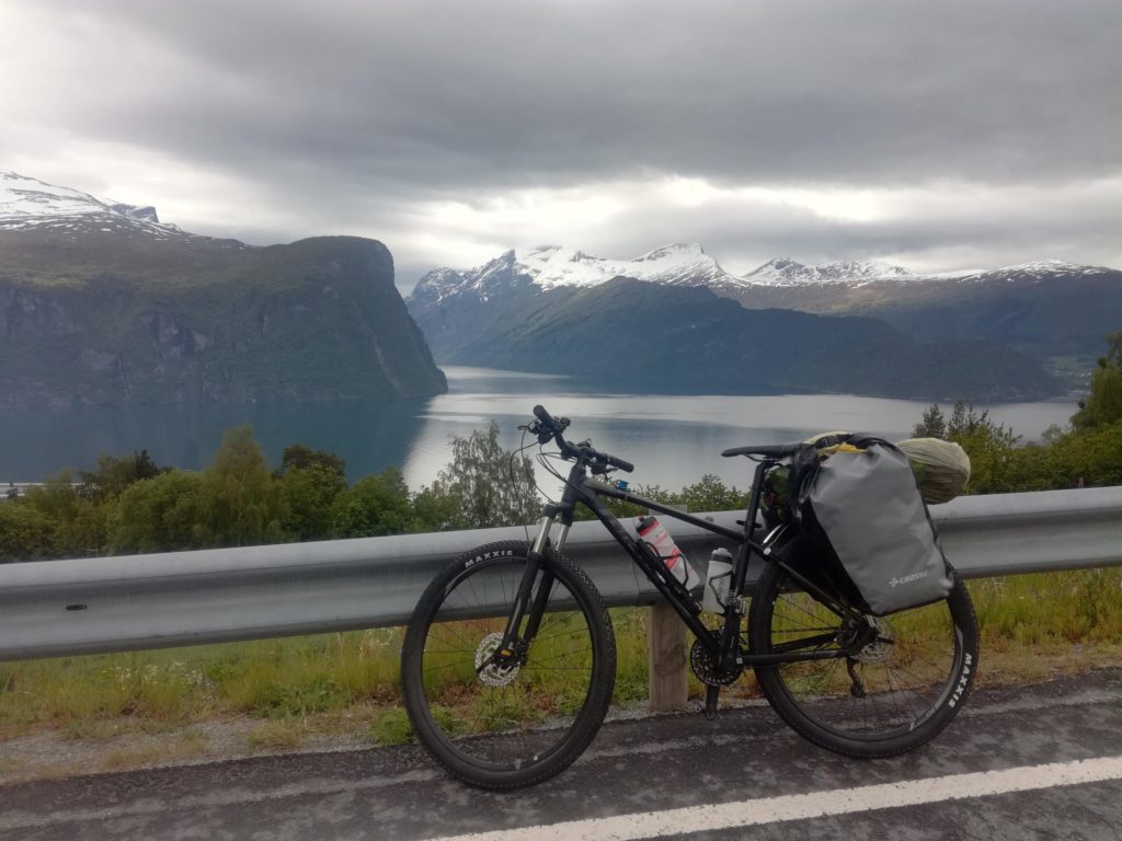
In June 2019, I cycled solo in Norway, covering 750 kilometres metres from Ålesund to Horten. I cycled Trollstigen – Norway’s most panoramic road, camped on empty plateaus and in forests and experienced four seasons in just a few days. Here is a travelogue based on my diary entries from that trip.
Valdresflya
There was nothing but whiteness and a barely visible narrow road among this whiteness. My toes started to pinch from the cold. Luckily, thanks to the thick skiing gloves, my fingers were still ok.
Streams of water trickled down the yellow foil pelerine and landed on my waterproof pants. Waterproof – at least for now.
Being cold and wet wasn’t my major issue. The fact that I could only see cars when they were just a few metres ahead of me was more concerning. If I could barely see their lights, they couldn’t see me at all. No high-vis vest or bicycle lights would change it.
The fog was thick, and I felt like cycling through the clouds. There was no roadside, only frozen lakes, wild streams and other surprises lurking under the snow covering Valdresflya since winter.
How it started
It wasn’t meant to look like this. When I left Norway at the end of April, spring was in full swing, so I had high expectations for the trip in June. That’s why I didn’t think twice when my friend Olga suggested a weekend trip to Ålesund. I decided to bring my bike, visit new places, and visit old friends.
But, of course, something had to go wrong. One day before the flight to Norway, Olga called me and said something was wrong with her eye. I had to go alone.
The change in plans completely stressed me out. I was in Norway plenty of times before. I had no reason to be worried, but somehow I was freaking out. On the plane, I felt like a kid going to a summer camp and going to be far from mom for the first time.
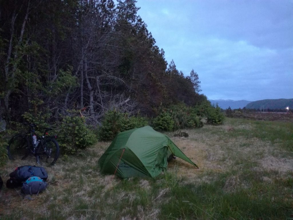
But with the first pedal strokes, I remembered that summer camps are awesome. It was late, but the sun was still up, even when I pitched my tent on Vigra Island before midnight.
Tunnels and fjords
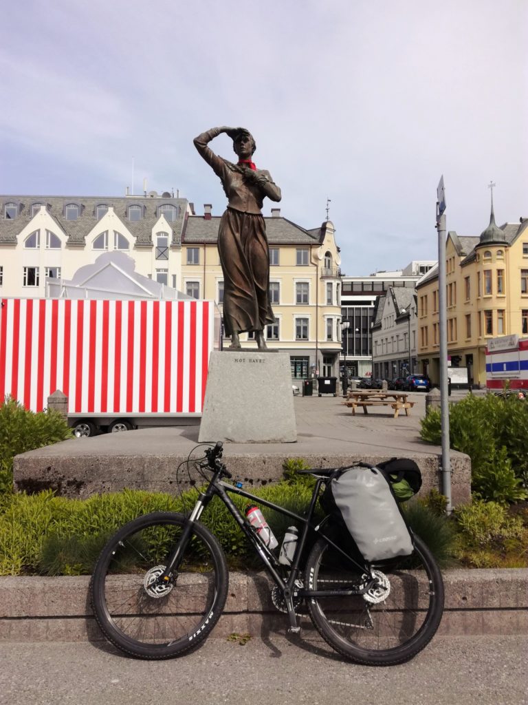
To get to Ålesund, I had to hop on a bus, as the long underwater tunnel from Valderøy wasn’t open for cyclists. Dense buildings gradually gave way to luscious greenery. A narrow road on the northern shore of Uksenøya led through a fragrant forest. Now and then, I could see the coastline behind the trees, with smaller and larger islands. The terrain was slightly hilly, and there were barely any cars on the road. Could it get any better?

It could! The farther I cycled, the better it got. Storfjorden (The Great Fjord) unfolded proudly to my right. Massive rock bodies plunged into the bay’s calm waters, and blooming lupine added vivid purple tones to the composition, dominated by navy blue and dark green. It looked like a picture from a brochure promoting Norway.
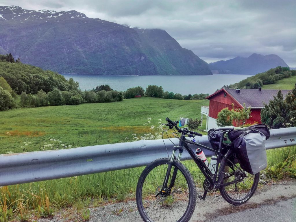
It was by no means all roses. The idyllic landscape was riddled with tunnels. I have nothing against tunnels per se. I am not scared of the dark; I have no claustrophobia, but I was pretty uncomfortable sharing these rock-cut-out hollows with cars. In the tunnel, the sounds wind so strangely that you have no idea whether the rumbling you hear is coming from behind or the front. And that’s a pretty uncanny feeling.
I armed myself with all the lights I could find (I hooked up a headlamp next to the handlebar light), put on a reflective vest bought in a hardware store, and, in this roadworker outfit, I made my way across Visettunnelen. Two more tunnels were ahead, but my navigation showed some old roads leading past them. I’d save myself some stress and enjoy the fjord views. The road near Dyrkorntunnelen was, in fact, quite panoramic.
Bypassing Stordalstunnelen wasn’t as successful. After a descent, I entered a forest, and an old tunnel appeared before me. Huge rocks and rubble blocked its entrance. There was no way but to reverse. Four extra kilometres of cycling in vain.
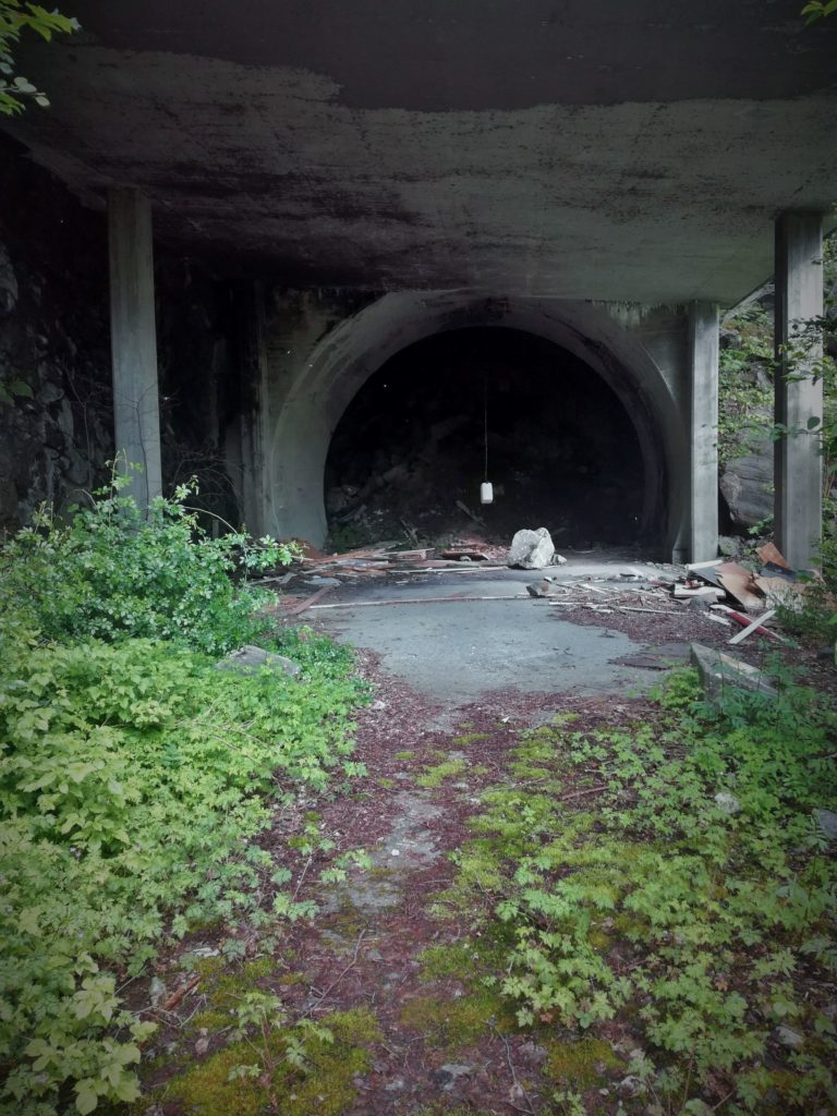
There was nothing left to do but ride through the 3.5-kilometre-long tunnel. Luckily, it turned out relatively straight and lit.
Trolllstigen
After crossing three more tunnels the next day, I was excited for my route’s crème de la crème—the famous Trollstigen, Troll Ladder, one of Europe’s most spectacular roads. I looked forward to speeding through tight hairpins on the 11-kilometre-long descent to Romsdalen Valley.
But first, I had to climb from sea level to 852 m a.s.l. The climb stretched over 30 kilometres, so it wasn’t steep at all, but the sheer length made it mentally exhausting. Luckily, there were plenty of distractions: people shouting you’re awesome! from their cars or a guy rolling down on a skateboard.

Gradually, the green meadows with grazing sheep gave space for raw rocks, and for the final kilometres, the road led between tall walls of snow.
Once I reached the top, I was captivated by the distinctive silhouette of the Bishop (nor. Bispen), a mountain of an average height (1462 m) but definitely not of an average beauty. But I couldn’t stay and admire views for too long, as the dark clouds were looming, and I wasn’t too keen on cycling down one of the most dangerous routes in northern Europe in pouring rain.


My mum once asked me if my fear of heights doesn’t bother me when I am cycling on all these mountain roads. – Not at all – I said. – Maybe I would be scared if I were doing some dodgy singletracks. But on proper roads, not at all!
The Trollstigen descent verified my beliefs. Tight turns, a steep gradient, and only a thin barrier between me and a huge drop-off. Traces of braking on the asphalt. Wet and slippery pieces by the waterfalls. I started ruminating.
What if I tightened something wrong when assembling my bike at the airport, and my wheel was about to fall off? What if the brakes stop working?
I knew it was irrational, but I couldn’t get rid of that little voice in the back of my head. I got off my bike and pushed it, trying to calm down while admiring the views.
Steep rock walls with cascades of water flowing down, a lovely stone bridge over Stigfossen waterfall—the landscape was like something from a different world. Finally, my heartbeat slowed, the panic had passed, and I could continue to enjoy the descent.

Romsdalen
I entered the Romsdalen Valley, surrounded by gigantic vertical walls and jagged crags, with black clouds looming over my head. It was one of these moments when you feel tiny.
It started raining, so I hurried to the campsite. I pitched my tent at the foot of Trolltindane, a massif known for Europe’s largest vertical wall, Trollveggen.
“Steep, overhanding, topped with numerous crags. A masterpiece of Baroque architecture, a veritable picture of hell formed in rock, a habitat of trolls and lost souls petrified forever for their sins” – that’s how a Polish climber Tadeusz Piotrkowski described the Trollveggen.


Gudbrandsdalen
My route continued on the country road along the Rauma River. There was little traffic, and the landscape was still wild: waterfalls, meadows full of yellow flowers, and snow-dusted mountain peaks. The quintessence of Norwegianness.
I entered the Gudbrandsdalen Valley, where the popular Norwegian brown cheese Brunost comes from. After a few hours, I left the flat road for a little dirt road through the mountains. I still had quite a bit of strength, but the altitude profile promised a long and demanding climb, so I decided to bike up just a bit before the evening, spend the night somewhere in the woods, and continue the battle in the morning.
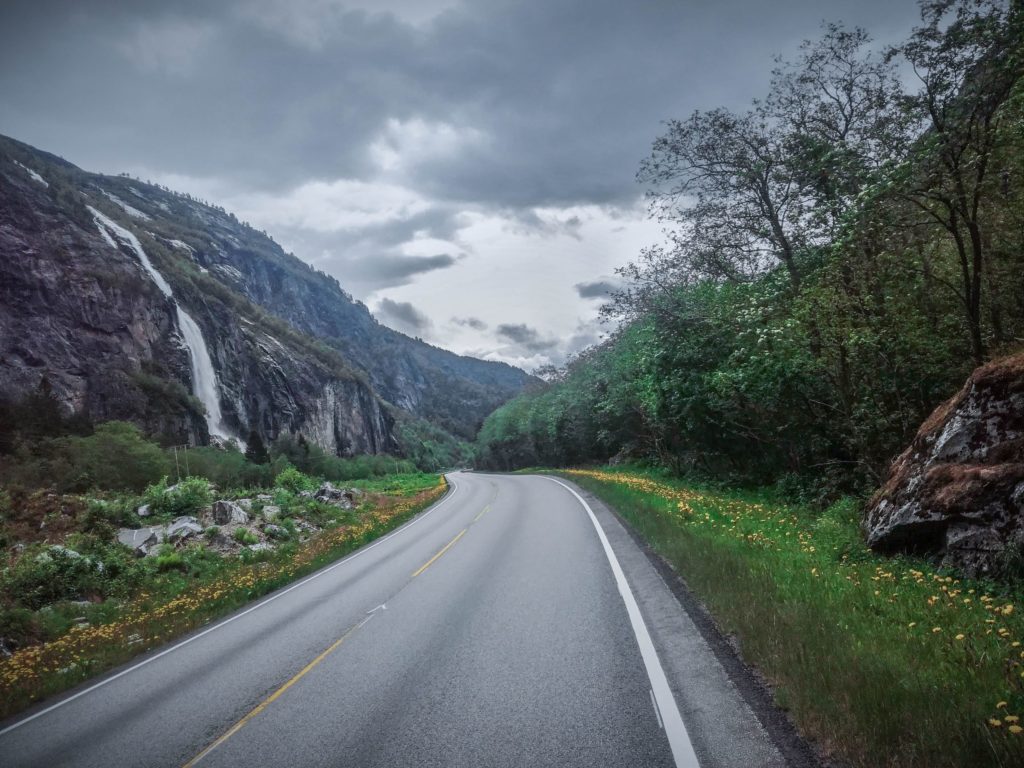


After a night with a complimentary back massage from the pine needles on the ground, I resumed the climb to the 1200 m high plateau. An absolute void surrounded me. There was just wind and distant croaking of ptarmigans.
After a mediocre dinner the night before and an even more mediocre breakfast, it felt like my panniers were of iron and weighed me down on the steep climb. I wasn’t able to force my legs to pedal harder.
I stepped off my bike and began to trot along it, questioning whether I should switch to ultralight bikepacking next time.
Somehow, I made it to the top. Snow-capped mountains, probably Dovrefjell, dominated the horizon. It was time for the fun part of the day – 20 kilometres downhill!


I was slightly concerned about what awaited me next: another climb awaited me in Vågåmo, again on dirt roads. Six kilometres with an average gradient of 10 %. I started looking for an alternative route, but everything seemed like a huge detour. I had to suck it up and, despite my hurting back and sore heel, prepare for another round of hike-a-biking.
Valdresflya
Finally, the ridiculously steep dirt roads were replaced by the national tourist road Veldresflya, which stretches along the eastern part of Scandinavia’s highest mountain range—Jotunheimen. Perfect asphalt is surrounded by nothing—only some rest areas with benches and campsites.
I stopped by Nedre Sjodalsvatnen Lake. The evening at 1000 m was rather chilly, so I wore my thickest socks and woollen hat. I checked the forecast. I was supposed to cycle the second-highest motorized road in Norway the next morning, reaching an altitude of 1389 metres, so it was smart to know what conditions I could expect. A lot of rain in the morning and fog. – Well, it could be better… But at least I can just sleep longer in the morning and wait out the rain. – I decided and melted into the warmth of my sleeping bag, happy that I found an excuse not to set an alarm.


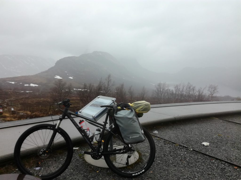
I woke up to the sound of big raindrops hitting my tent. When the rhythm seemed slower, I went outside to evaluate the situation.
-It’s not so bad, I guess. Let’s go! – I said to myself.
I put on my yellow plastic raincoat and headed southwest with a wet tent on my luggage rack. Above the tree line, the wind began to blow. Cycling uphill warmed me up a bit, but my toes, stuck in soaked shoes, started to freeze.

There was plenty of snow on the side of the road, and visibility worsened minute by minute. I initially chose this route because of the unforgettable views. Meanwhile, the fog was so dense that I could only see a few metres ahead. It reminded me of the whiteout I experienced last winter while cross-country skiing in the Norwegian mountains.
I was quite scared. I could only hope that the drivers slow down in these conditions and that my blinking light in the back is visible to them. It would have been smartest to wait it out, but there was no place to stop. I couldn’t be sure there weren’t streams or lakes under the snow, so even pitching a tent was a no-go. My only option was to climb the pass and leave it as fast as possible – preferably in one piece. My head went into survival mode – just push forward and don’t think.
Somehow, I managed. I left the pass, and after a few kilometres, the fog began to thin out. The adrenaline dropped, and I realized that my feet were numb from the cold and my blood sugar was extremely low. After a long stretch, a hotel with a cafe appeared by the side of the road.
With high hopes for tea and maybe a cake, I parked my bike next to the entrance only to be disappointed: the note on the door informed me that the hotel was closed and would only reopen in three days.
I did a foot-warming dance, tapping my toes on the ground and wiggling my feet. When I could finally feel my toes again, I jumped on my bike again.
After a few kilometres, I reached the town of Beitostølen. I had never been that happy to see Peppe’s Pizza before, and I had never enjoyed a pizza so much. I ordered a fruit tea and poured tons of sugar into it. With every sip, I felt the energy returning and warming my body.
In the meantime, it finally stopped raining, so I continued cycling all the way to Tisledalen. But there was one more unpleasant surprise waiting for me this evening: the frame of my tent broke. I spent about an hour fixing it temporarily using plenty of scotch tape. Luckily, the night was dry, so it didn’t matter that my tent was slightly hanging. It was not terrible timing for a tent issue, too – I was just 70 kilometres from Nesbyen, where a warm bed awaited me at Dorte’s – my friend’s – house.
Hallingdal
In the morning, it looked like summer was finally here. The sun was burning, and the air was humid, foreshadowing a storm, so I packed in a hurry to reach my destination as quickly as possible.
The long descent to Gol delivered pure cycling joy. On the last serpentines before the Hallingdal Valley, the first of four waves of rain that day caught me by surprise. It was a proper downpour—after five minutes, I felt like I had just taken a shower. This time, I didn’t even bother that my shoes were soaked. At least it was warm.
In Gol, I crossed to the other side of the valley and followed a forest path by the rail tracks. Everything smelled like summer at grandma’s.
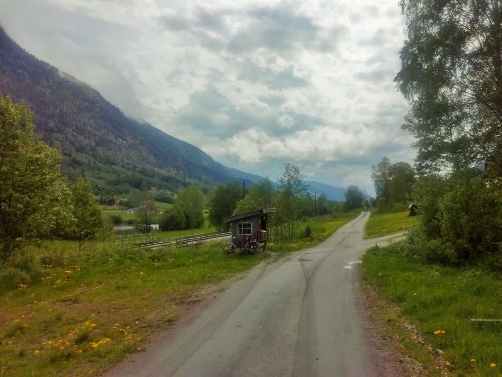
One more challenge was left – a long, hellish climb, more than 800 metres up. I knew it well from last winter when I worked there in a ski resort. But it turned out that in just six weeks, from the end of April to June, everything had changed there. The snow that disappeared in the meantime revealed rivers I didn’t even know existed.
Just before the last intersection, another massive storm caught me. I arrived at Dorte’s doorstep, dripping wet and exhausted.
Nesbyen-Fredrikstad
After the last six intense days of cycling, I could barely look at my bike. I was, however, looking forward to some hikes with Zikko – Dorte’s dog. In the lower parts of the mountains, we had to make our way through wetlands, but wet feet were a price I was ready to pay for the chance to admire the ridges of Jotunheimen far in the distance from the peaks of Kvasshovda and Trommenatten.
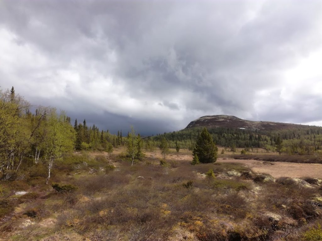


It was hard to move forward after five days of hiking, good food, and conversations until late at night. One quickly gets used to a soft bed and comfort. The prospect of riding all day in the rain and sleeping in a broken tent wasn’t enticing.
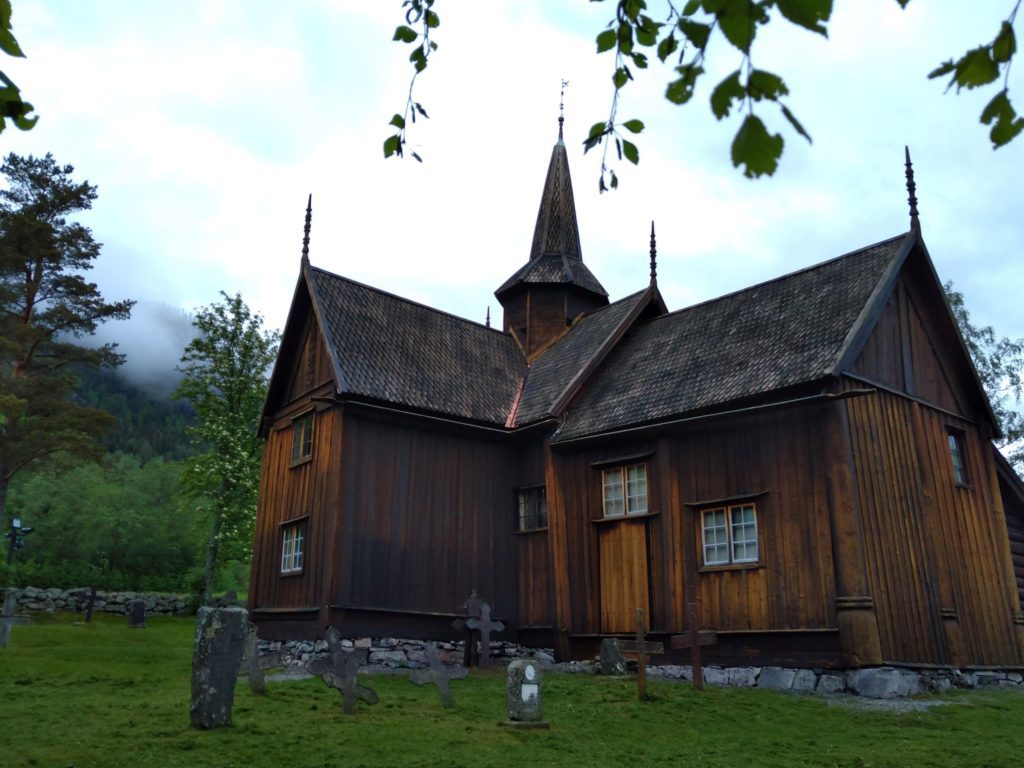
But there are worse things than riding on a nearly empty forest road along Tunhovdfjorden Lake.

I reached national bicycle route number 5 (the same one I rode in Romsdalen and Gudbrandsdalen), which led through narrow, idyllic country roads. After the rain, the trees and grass were intensely green, almost as if someone had overdone it with the saturation slider in Lightroom.

I had only 160 kilometres left to Fredrikstad – a town close to the Swedish border where I was supposed to visit my friend Julia. Two easy days, with no big climbs. But I realised that I didn’t have to. Why would I force myself to spend another night in a wet tent if I could arrive in Fredrikstad and start my weekend with Julia earlier?
I braced myself for a long day and pushed for 120 kilometres until I reached the port of Horten. A ferry took me across the Oslo Fjord to Moss, where I hopped on a train to Fredrikstad.
Normally, I would have felt unsatisfied, as if I had given in to my laziness or cheated. But I guess I spent too much time in Norway in recent months, and I began to adopt the local approach to be just godt nok—good enough. And 750 kilometres, almost 10,000 metres of elevation, and a few cold nights in the tent really are good enough. I earned the cold beer at the Glomma River and lazy evenings on the beach.
Practical Information
- It’s impossible to cycle from the Ålesund airport to the city as the underwater tunnel Valderøytunnelet isn’t open for cyclists. You can take the bus from the airport or the neighbouring Valderøy Island. I opted for the second option, which allowed me to enjoy the beautiful landscapes of the islands. You can find the timetable and information about tickets on this website. You can buy the ticket from the driver.
- Mountain roads such as Trollstigen or Valdresflya are only open for a few months a year. You can check the situation on this page.
- The ferry from Horten to Moss is free of charge for pedestrians and cyclists. It departs every 15 minutes during rush hours and every 30 minutes otherwise. The schedule is here.
- Norway is a perfect place for wild camping. You can easily find a quiet spot in nature, and it’s 100% legal! I only stayed on official campsites twice to take a proper shower: at Trollveggen campsite and Bjørkestolen campsite. Many campsites are only open during the short summer season.
- Are you looking for more practical tips on cycle touring in Norway? Check out my Practical Bike Touring Guide to Cycling in Norway.
