Most people come to Malta to enjoy the sun-soaked beaches and crystal-clear bays. But this Mediterranean island has plenty to offer hikers as well. Dramatic cliffs, hidden valleys, ancient ruins, and charming chapels—the unique mix of natural beauty and cultural heritage makes hiking in Malta a thrilling adventure.
I spent several months in Malta, and, trying to escape the hustle and bustle of the central area, I explored the island’s wildest and most spectacular trails. This guide provides information on the best hikes in Malta, including some often overlooked by tourists and some advice on hiking in Malta.
Hiking in Malta – practical information
Weather
Malta is known for having more than 300 sunny days a year, making it a fantastic place for outdoor activities. However, the summer temperatures often exceed 35 degrees, and high humidity and the heat make hiking unbearable.
If you visit Malta between June and September, enjoy swimming, snorkelling, or kayaking. If you absolutely want to go hiking, do it early in the morning.
The conditions for hiking are perfect for the rest of the year. Between November and January, you can expect single days with heavy rain, but most of the time, it’s sunny and pleasant. My favourite time for hiking in Malta is between January and April when the vegetation is booming and the island is greenest.
Packing list for hiking in Malta
Here are a few things you cannot forget going on a hiking trip in Malta:
- Sunscreen: The sun hits differently in Malta. Don’t forget sunscreen with SPF 50 and reapply it every two hours.
- Hat: to protect your head from the sun.
- Sturdy shoes: Most walks are in rocky terrain. You don’t need tall hiking boots, but proper shoes with good grip will make the hike much safer and pleasant.
- Swimsuit: Many hiking trails are near the beach, so why not get a refreshing splash after the hike?
- Water and electrolyte tabs: I usually carry two litres of water and some electrolyte tablets to prevent dehydration.
- Snacks: You don’t need to bring much food as you’re never far from civilisation in Malta, but a little something to munch on will energise you during your walk.
Getting around
Public transit in Malta
Malta’s compact size and dense population should technically make it easy to get around by public transit. Unfortunately, the island is quite car-centric, and public buses often get stuck in traffic and become overcrowded.
Nevertheless, it’s possible to reach the start and finish of each hike by bus. Don’t assume the bus will arrive on time, and give yourself extra time.
To find your connection, you can use Google Maps and Tallinja App. Tallinja App claims to provide real-time bus tracking, but the data is often inaccurate, as the buses get stuck in traffic with all the cars. The Tallinja App also includes alerts about route changes and service disruptions – always check it to avoid waiting endlessly for a bus that will never arrive.
A single bus ticket costs 2,50 euros, valid for two hours.
You can also get the Explore Card for 25 euros (7 euros for children under ten) and enjoy unlimited bus trips for a week.
Uber, Bolt, eCabs
If you want to save time and travel a lot between less connected points on the island, Uber or Bolt are your friends. The prices are reasonable, and there are plenty of drivers, so you rarely have to wait long for a cab.
Car rental
To enjoy independence, you can rent a car at the airport. Remember that Maltese drivers have quite some temperament, and the roads are pretty jammed. As a former British colony, Malta has left-hand traffic.
Where to stay
Avoid the central area if you’re more interested in nature and seeking tranquillity. Here are some places with easy access to many hiking trails and stunning views.
Resources
For more inspiration on hikes in Malta, check out Pierre Farrugia’s YouTube channel
You can also find more inspiring walks in Malta in these books:
 Walking on Malta by Paddy Dillon (Ebook)
 Malta 10 Great Walks by Emmet Mc Mahon (Ebook)
Top Hiking Trails in Malta
All hikes described in this post are accessible by public transit. Sometimes, that involves extra walking to the bus stop, not always through the most beautiful areas. If you want to skip that and focus on the most stunning parts of Malta, you can always get a cab and shorten the hike.
Dingli Cliffs to Ghar Lapsi
The walk by the Dingli Cliffs is one of the most popular attractions in Malta. It is not surprising since the views from the highest point in Malta are breathtaking. The cliffs fall 200 metres down straight into the sea. You can also admire a little islet of Filfla standing lonely between the waves.

You’ll find historical sites along the trail, such as the Chapel of St. Mary Magdalene and a Bronze Age settlement.
You can take a shorter walk along the Dingli Cliffs, but I encourage you to finish your hike in Ghar Lapsi and dip into the azure water of this nature-made swimming pool. Surrounded by cliffs, Ghar Lapsi Bay is also one of the best places to snorkel or enjoy the sunset.
Hike details – Dingli Cliffs to Ghar Lapsi
Length: 7,5 km (+ 2 km if you need to take a bus from Ghar Lapsi
Elevation: 60 m up, 292 m down
Starting point, bus stop: Carruta (Had Dingli) or Vizitaturi (less frequent, only bus 201)
Finish line, bus stop: Bajjada (infrequent buses)
Technical difficulty: Easy/Moderate. The first part is asphalt road, followed by more rugged terrain, but technically, it is easy.
Victoria Lines
Also known as the Great Wall of Malta, Victoria Lines runs through the Great Fault – a ridge crossing the island, on which many forts and defence infrastructure were built to protect the southern towns and ports in case of an invasion coming through the open plains on the north.
Unfortunately, walking the entire length of Victoria Lines is problematic. The trail between Mosta and Naxxar has been destroyed, and your only option is to walk on busy roads.
For that reason, most people split the Victoria Lines hike into two parts: Kuncizzjoni to Mosta and Fort Madliena to Naxxar. If you only have time for one part, choose the first one as it offers more scenic views and better-preserved fortifications.
Victoria Lines: Kuncizzjoni to Mosta
The first part of this hike offers excellent views over Golden Bay and the white cliffs of Gozo. The further you go, the more historic landmarks you’ll encounter, from British forts to caves and the impressive defensive bridge, also called the Great Wall of Malta. Later, you’ll reach the Dwejra Lines, with a completely overgrown trench. It’s one of the greenest places in Malta.

You’ll have to cross a busy road called the Falka Gap to reach Mosta. Unfortunately, the authorities still haven’t built a safe pedestrian crossing, so you have to be extra careful.
After the hike, visit the Mosta Basilica, known for having the third-largest unsupported dome in the world. During World War II, the dome avoided destruction when a German aerial bomb fell into the church but never exploded. Many older Maltese people talk about this event as a miracle.
Hike details – Victoria Lines: Kuncizzjoni to Mosta
Length: 9 km
Elevation: 70 m up, 200 m down
Starting point, bus stop: Wied Gerzuma (infrequent connection with bus 109)
Finish line, bus stop: Mosta
Technical difficulty: Moderate
Victoria Lines: Fort Madliena to Naxxar
If you’re staying in the central area of Malta, this part of Victoria Lines will be easier to reach by public transit. From the cosy coastal town of Pembroke, you have to climb to Fort Madliena, a very well-kept still used by St John’s Rescue Corps for training.
Later, the trail continues on a narrow, overgrown path following the wall. After crossing a stone bridge, prepare for a steep climb to the Top of the World Ghaghur. The place might not be as spectacular as the real top of the world, but with a great panorama of the island, it’s perfect for a picnic.
The last part of the trail is a treat for the eye, with a view over a wild valley, Wied Anglu.
You can find a detailed description of the trail and the maps on this blog.
Hike details – Victoria Lines: Fort Madliena to Naxxar
Length: 5 km
Elevation: 152 m up, 102 m down
Starting point, bus stop: Kosta or Pembroke Park and Ride
Finish line, bus stop: Naxxar
Technical difficulty: Moderate
Golden Bay – Għajn Tuffieħa – Gnejna Bay (- Mgarr)
Imagine a hike where you can relax on Malta’s best sandy beaches while exploring rugged landscapes. The hike from Golden Bay to Gnejna Bay is one of the most spectacular walks in Malta, where the copper-gold sands and rocks contrast with crystal blue waters.
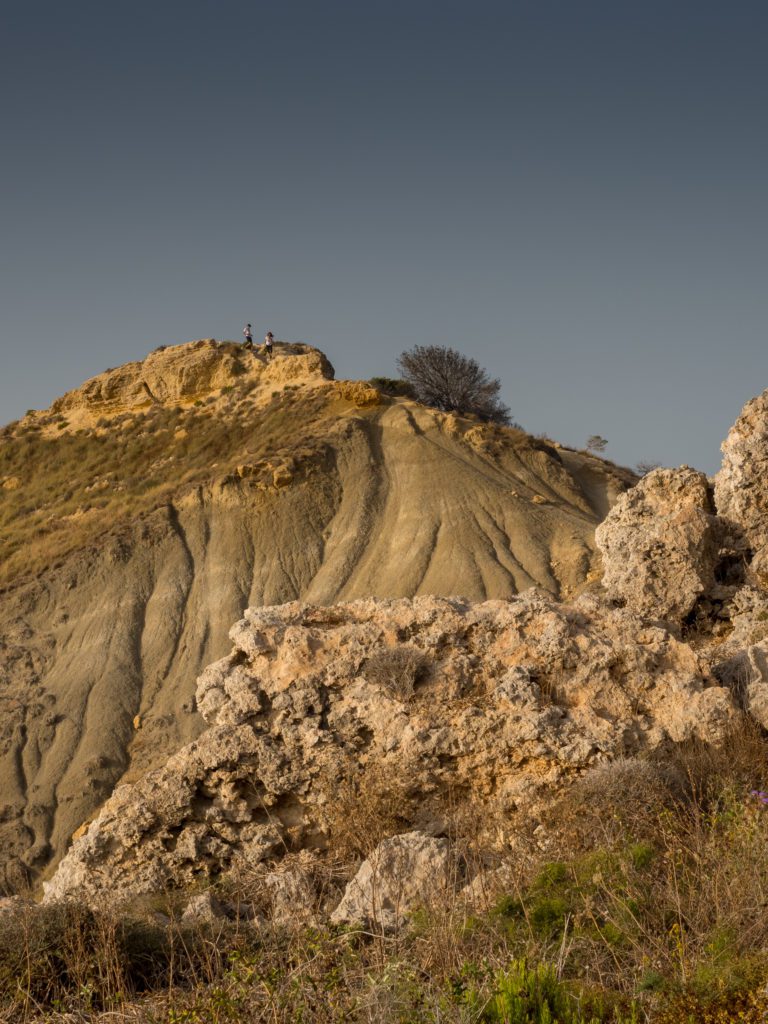
The landscape is almost otherworldly. Some sections of the hike are steep and slippery. If you’re scared of heights, skip the loop around the boulders of Il-Qarraba—the path is pretty narrow there, and the terrain is a bit rough.
Pro tip: do this hike in the evening and enjoy the most stunning sunset in Malta!
Hike details – Golden Bay – Għajn Tuffieħa – Gnejna Bay – Mgarr
Length: 7,56 km
Elevation: 224 m up, 187 m down
Starting point, bus stop: Tuffieha (Currently – June 2024), the bus stop Tuffieha is not served, so you’ll have to get off the bus in Manikata. This will add about 1,5 km to your walk)
Finish line, bus stop: Mgarr
Technical difficulty: Easy/Moderate. Some steep climbs and rugged terrain.
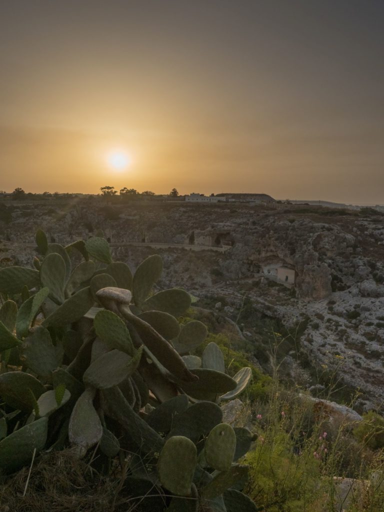
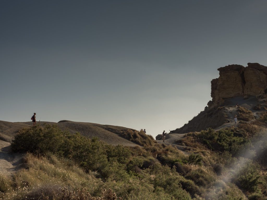
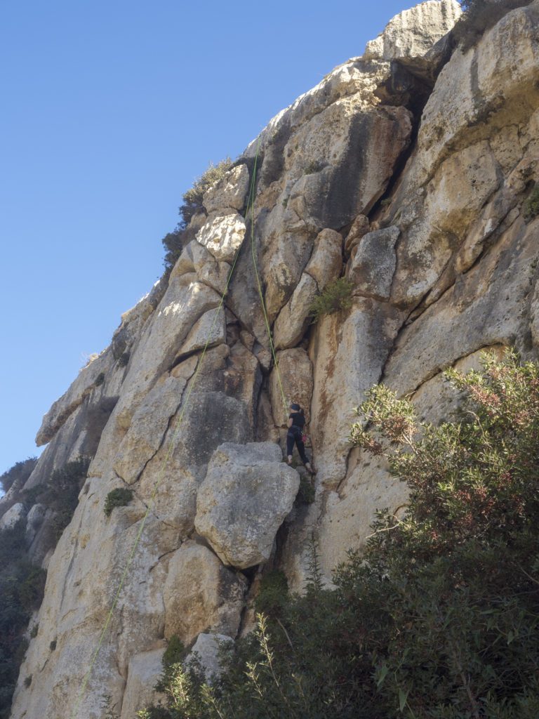
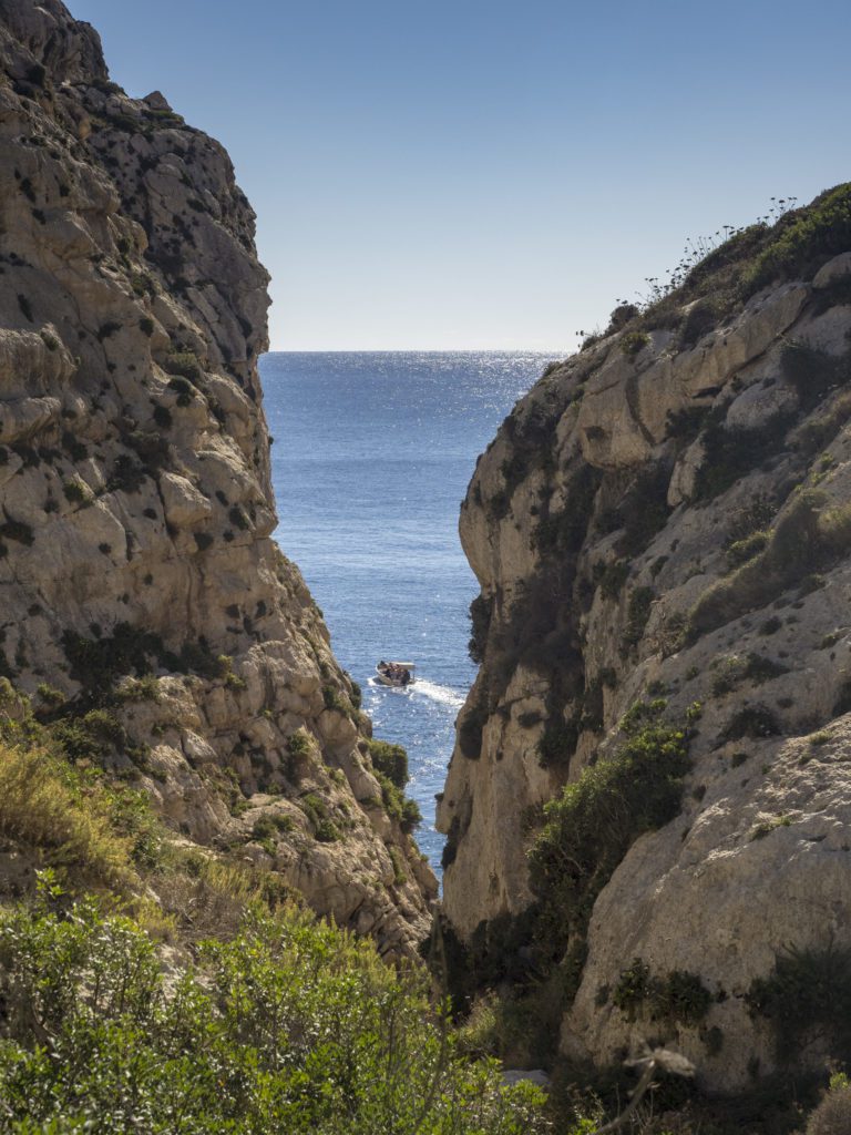
Wied Babu
The lushest and wildest valley in Malta, Wied Babu is one of the most popular climbing spots on the island and a real hidden gem. This short hike is rich in scenic views, and the rugged terrain requires confident footing and sometimes even using hands. Bring hiking shoes with a good grip, as some parts of the trail can be slippery and uneven.
Before embarking on the adventure, check a touristy must-see off your list and admire the view of Blue Grotto.
From Blue Grotto, follow the road towards Zurrieq for about 500 metres and look for a small ladder over the railings on the right side of the sidewalk. Climb over the fences and down the ladder to get to the hike’s starting point.
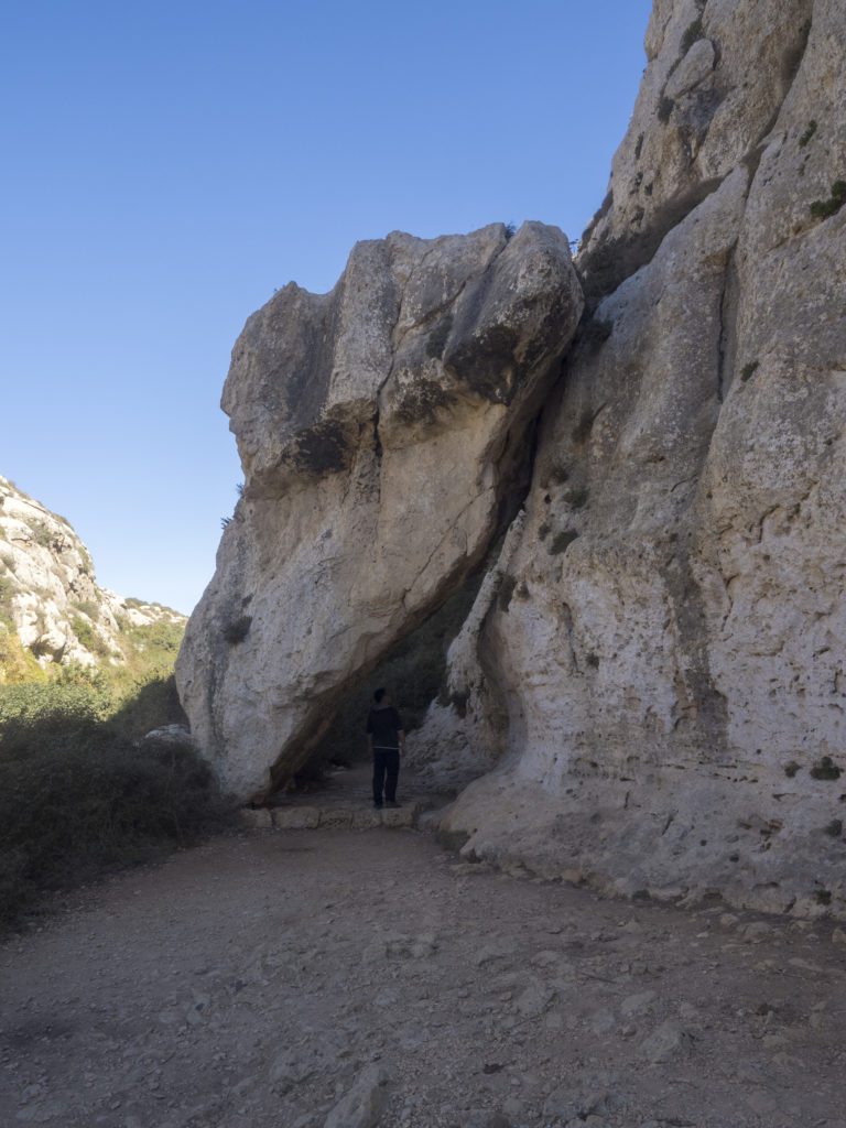
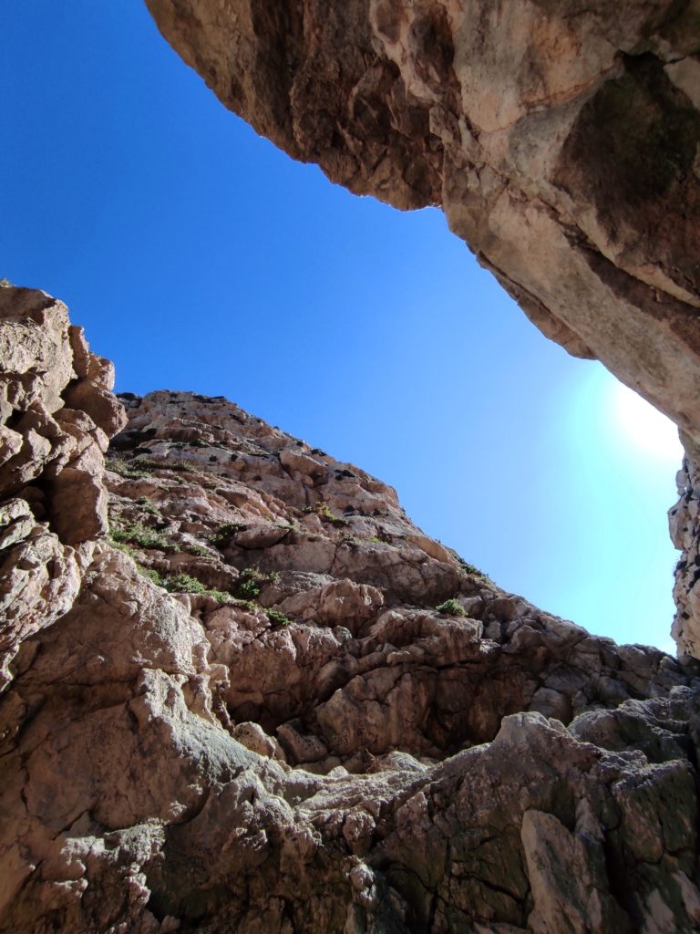
The trail isn’t marked, so you must carefully follow the path. It is mostly clear, but there are a few moments when the rocky terrain looks confusing. After a first steep drop, the path slowly descends further into the gorge, widening where the valley opens up a bit. Here, you’ll see some great climbing spots and a majestic boulder – the Window – hanging over the trail.
Further down, the trail becomes narrower and, at times, overgrown. If it’s not too hot, wear long pants and a long-sleeve shirt to avoid having your legs and arms scratched by the spiky bushes.
In the final sections, the gradient becomes steeper, and you’ll sometimes need to support yourself with your hands to plunge down the rocky trail.
Hike details – Wied Babu
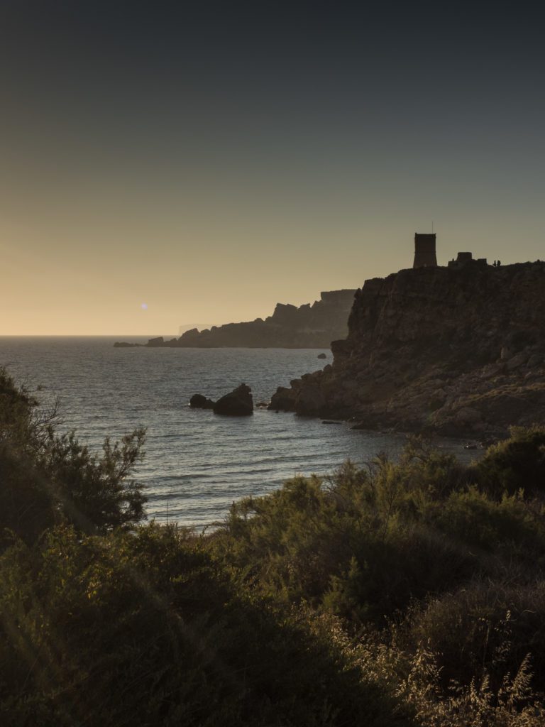
Golden Bay – Popeye Village – The Red Tower – Ghadira Bay
Majistral Nature Park is one of the most tranquil areas in Malta. The hike from Golden Bay to Popeye Village is rich in stunning cliff views. Follow the yellow route marked on this map (there are also markings on the trail) that will take you to the viewpoint of the film set of the 1980s movie Popeye, starring Robin Williams.
Colourful houses fit perfectly on the shore of the azure Anchor Bay, almost as if the village was authentic.
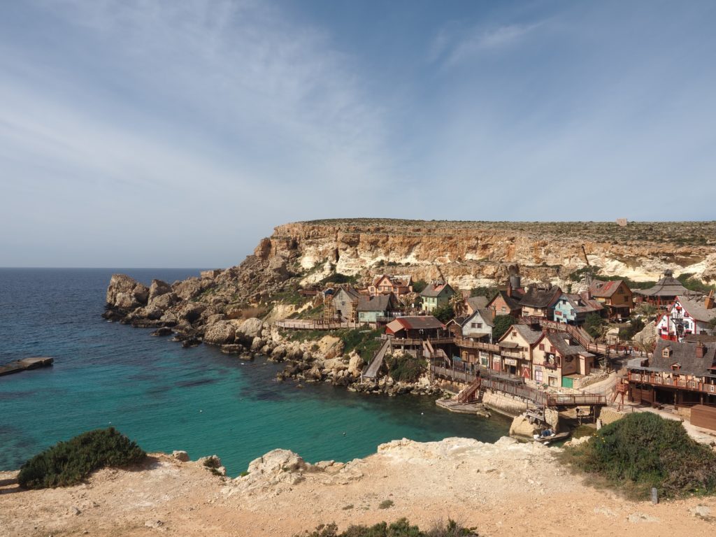
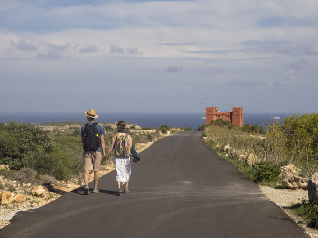
From Popeye Village, you can head straight to Ghadira Bay, where you can relax on the sandy beach and swim before taking a bus back. However, if you’re not yet tired, take a detour and follow the small path to St Agatha’s Tower (The Red Tower). There are some steep sections on the way there, but the fantastic views over Comino and the cliffs of Gozo make up for the effort.
Hike details – Golden Bay – Popeye Village – The Red Tower – Ghadira Bay
Length: 9,4 km including the detour to St Agatha’s Tower; 7 km without the detour
Elevation: 277 m up, 277 m down
Starting point, bus stop: Tuffieha (Currently (June 2024), the bus stop Tuffieha is not served, so you’ll have to get off the bus in Manikata. This will add about 1,5 km to your walk).
Finish line, bus stop: Il-Melieha-Ghadira (for the shorter version of the hike) or Il-Mellieha-Riserva (for the longer one)
Technical difficulty: Easy
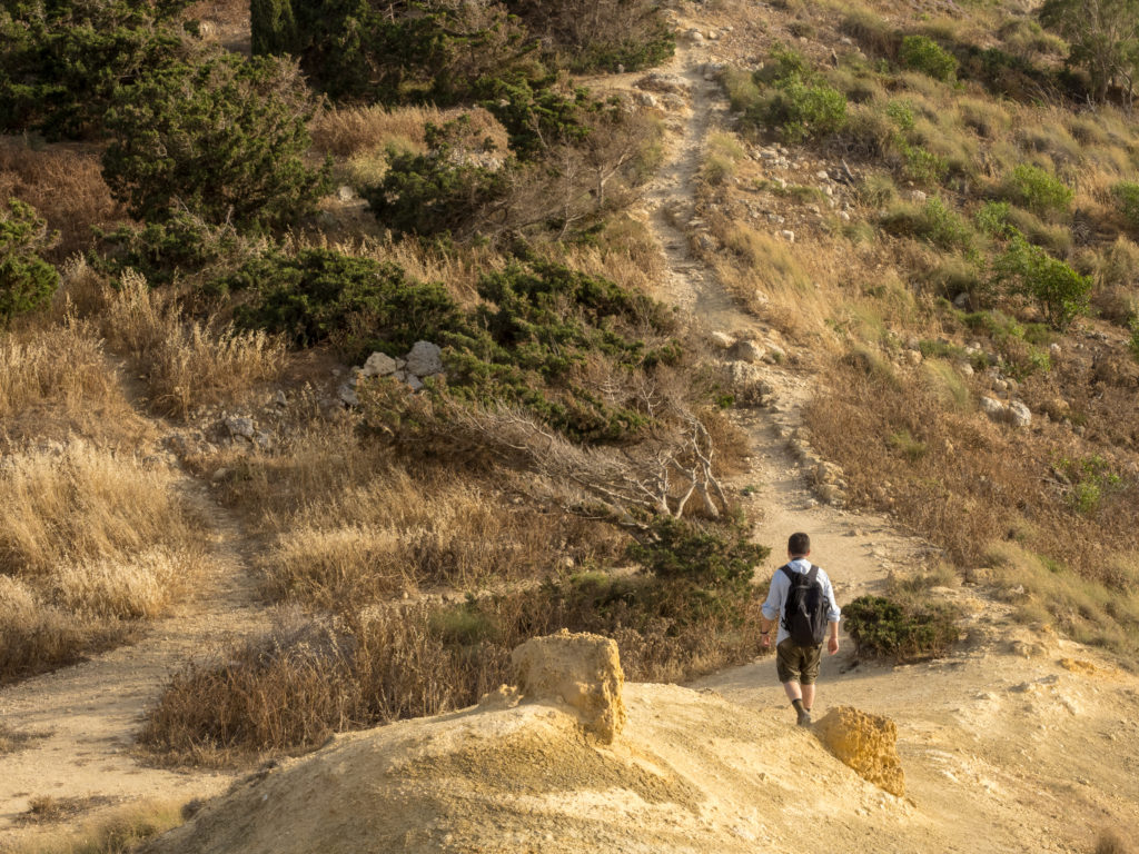
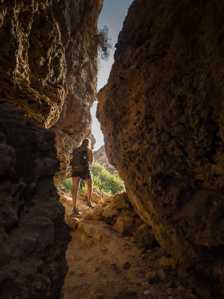
Xemxija Heritage Trail
In Malta, history surrounds you everywhere you go. Xemxija Heritage Trail is the best hike to immerse yourself in Malta’s ancient past. On this short walk, you’ll find Neolithic temples, Roman baths, ancient caves and tombs and the oldest tree on the island.
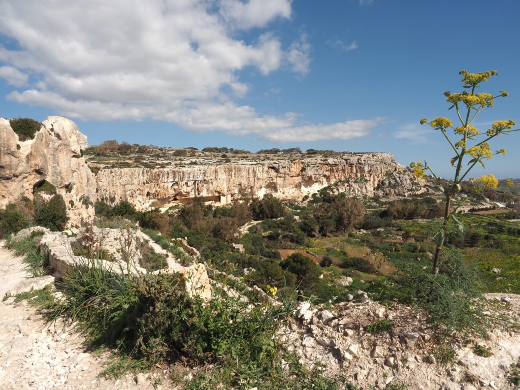
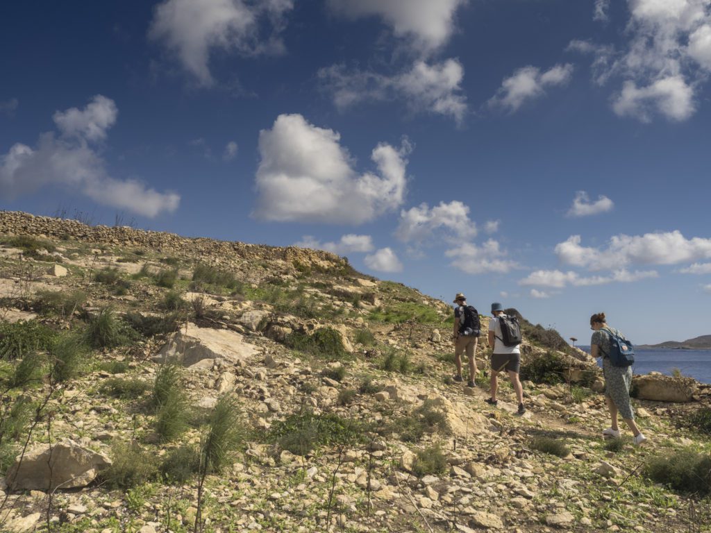
The 2000-year-old Roman Road, also known as the Pilgrim’s Way, starts in the coastal town of Xemxija. After the initial climb, you’ll land on a rugged path that meanders through historical sites that testify to the importance of this little town for ancient civilisations.
The trail is marked (although sometimes the signage could be more precise), and along the way, you’ll find informative placards about the historical sites and plants growing in the area.
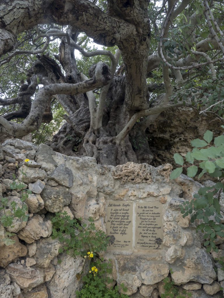
The most impressive natural landmark in Xemxija is the ancient carob tree, believed to be 1000 years old. It casts a pleasant shade, and it’s marvellous to think how much this tree has endured and witnessed throughout its life, how much Malta has changed since the carob was just a little tree.
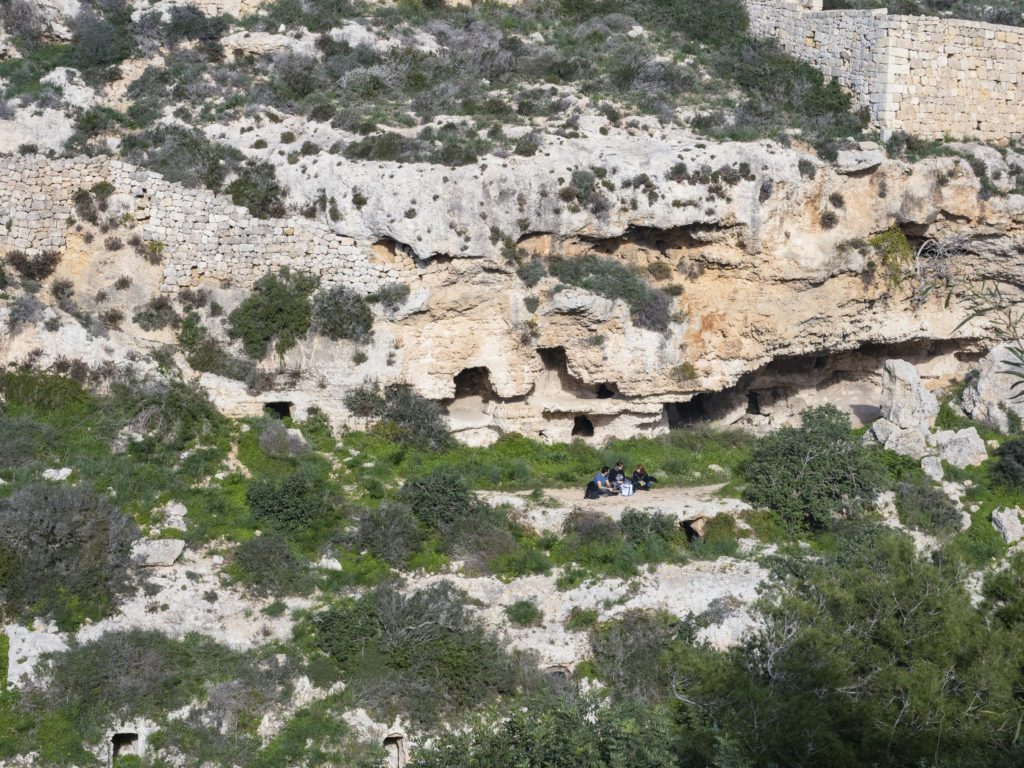
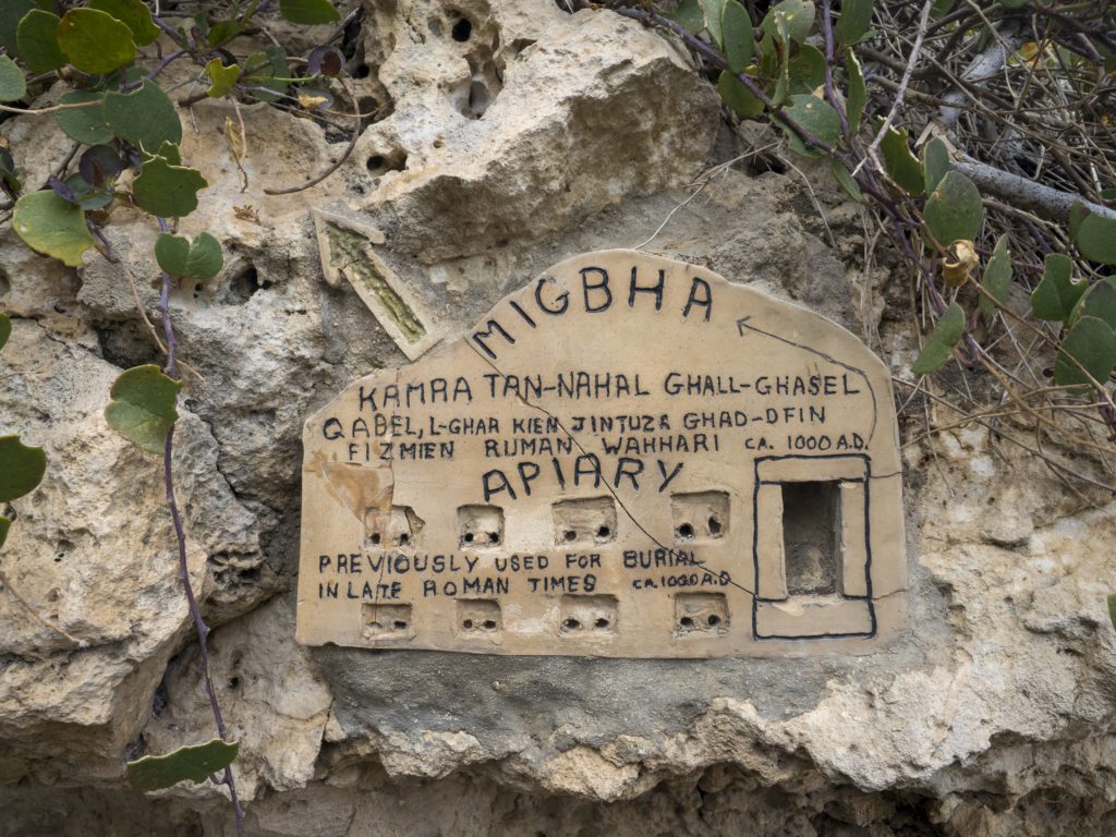
I am not a history nerd, but I was astonished by the ancient Roman apiaries – caves with small openings used to produce honey.
Deeper into the trail, you’ll find the remains of a Neolithic Temple (not well preserved) and several Punic tombs. On your way to the Roman baths, you’ll pass a modern residential street which looks quite out of place right next to all these ancient sites.
The Roman Baths have a large entrance through which you can discover their interior and, on a warm day, take refuge from the heat in the cold rubble walls.
You can return the same way to Xemxija or catch a bus at the Mistra bus stop.
Hike details – Xemxija Heritage Trail
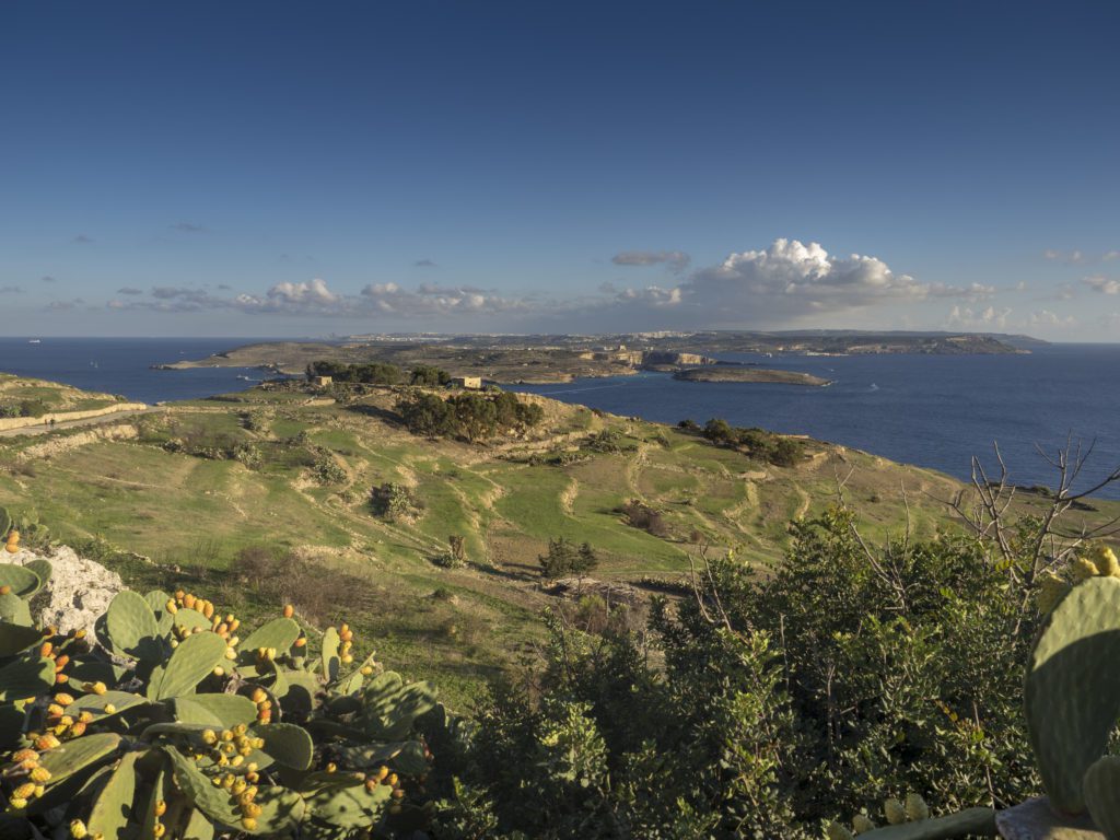
Gozo Coastal Walk
The Coastal Walk in Gozo is the only long-distance trail in Malta. This 50-kilometres-long route encircles the entire island of Gozo, allowing you to admire the most scenic bits of the coast.
The trail is marked with red paint on the rocks, but the signage is faded in some places.
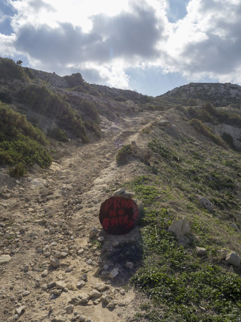
In some places along the route, you’ll also encounter “Private property” signs on the trail. Most of them are placed there illegally by hunters who built their hideouts there. Bird hunting remains popular in Malta, and during the hunting season (1. September – 31. January and 10.-30. April), your otherwise peaceful hike will be constantly interrupted by the sound of gunshots.
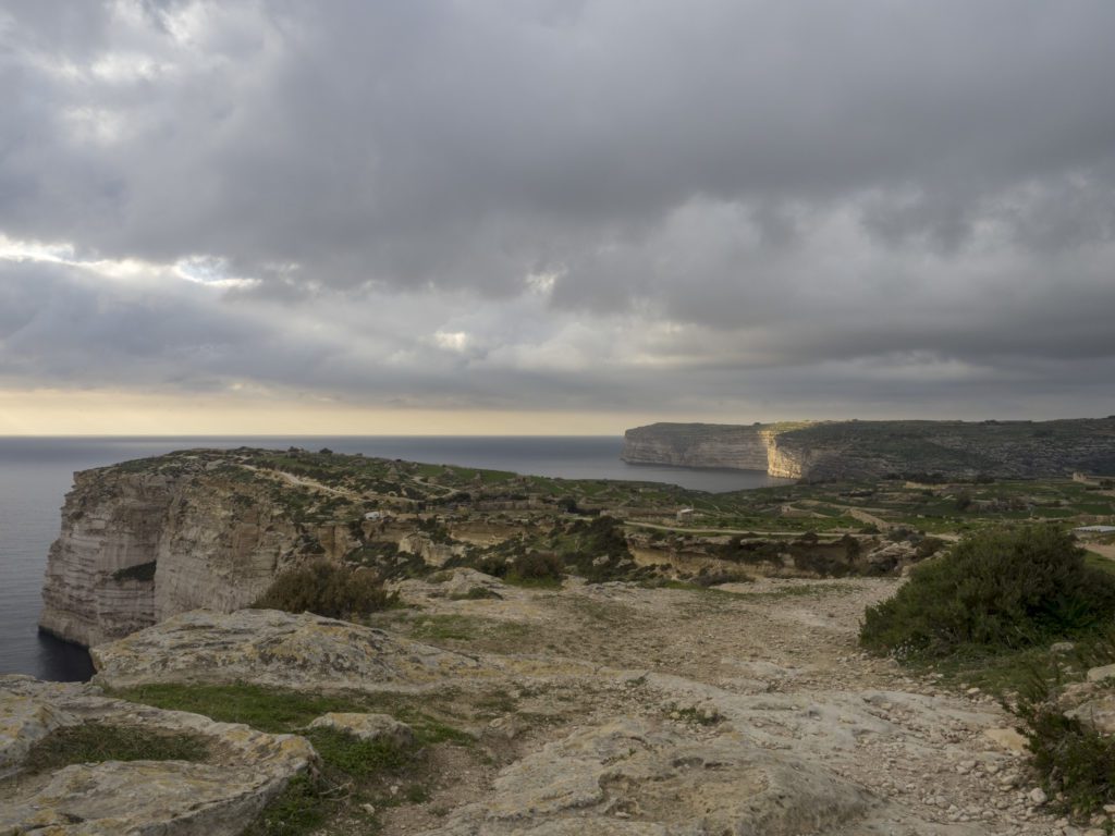
You don’t need to walk the entire trail to enjoy the best views in Gozo. Even a short walk from the harbour in L-Imgarr will take you into paradise.
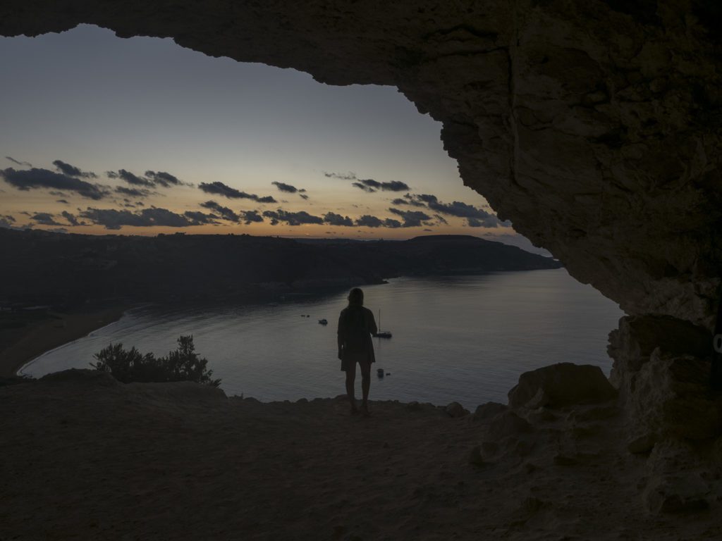
A good day hike is from Mgarr to Ramla Bay and Tal-Mixta Cave (about 13 kilometres) or through the Sannat Cliffs to Xlendi (12 km). The part from Xlendi to Dwejra is also absolutely scenic.
Hike details – Gozo Coastal Walk
Length: 50 km
Elevation: 1270 m
Starting point: Mgarr Harbour (you can get there by Fast Ferry from Valletta or the Gozo Channel Ferry from Cirkewwa).
Technical difficulty: Medium/hard
While civilisation and overdevelopment are always around the corner in Malta, this little and densely populated country offers many trails with spectacular views that satisfy every hiker.
Have you hiked in Malta? What are your favourite routes?